Road Surface and Wetness
Dataset
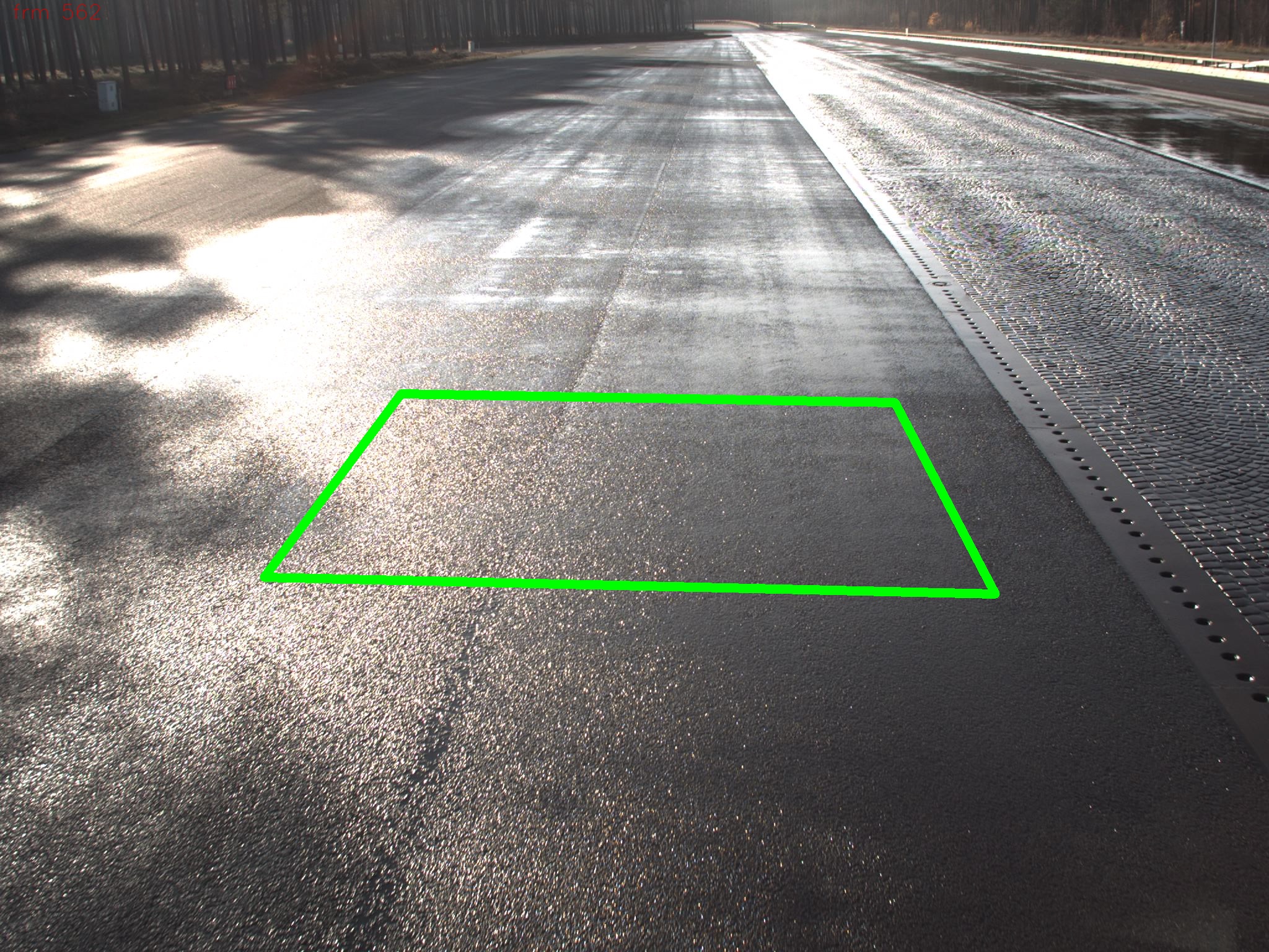
Objective: Evaluation and Development of Approaches for Road Condition Estimation [1]
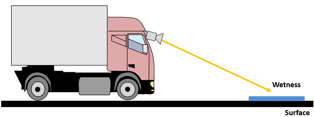
- Bird's eye view road patches from calibrated cameras
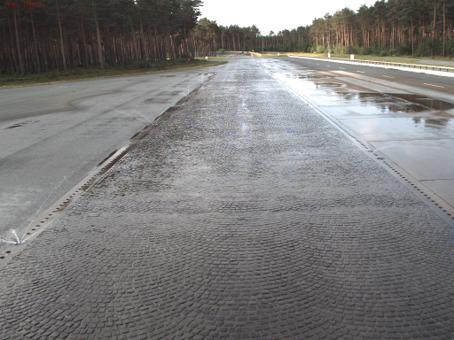
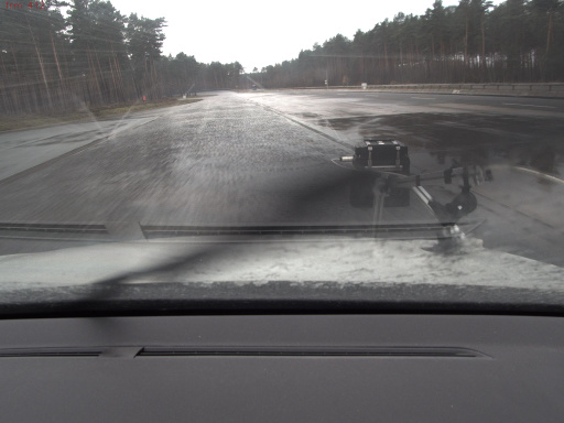
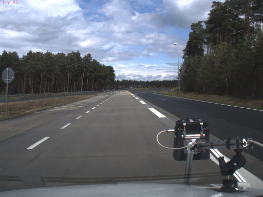
- Large scale data acquisition on test track
- Three surface types: asphalt, cobblestone, concrete
- Accurate measurements for wetness annotation
RoadSaW dataset: balanced dataset with equal number of images for each of the 12 categories (3 surface types; 4 wetness levels)
- three patch sizes: s,m,l
- four patch distances: 7.5m, ..., 30m
!!! Check also the RoadSC dataset [2], providing Snow Covered Surfaces compatible with RoadSaW !!!
Presentation at CVPR 2022: Workshop on Autonomous Driving
-
06-20-2022, 5:20 pm: Spotlight/Poster presentation
- Paper at Computer Vision Foundation (CVF)
- Paper at ieeexplore


Version 1.0 - log.txt
Base Dataset -
Road Patches
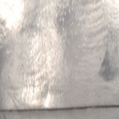
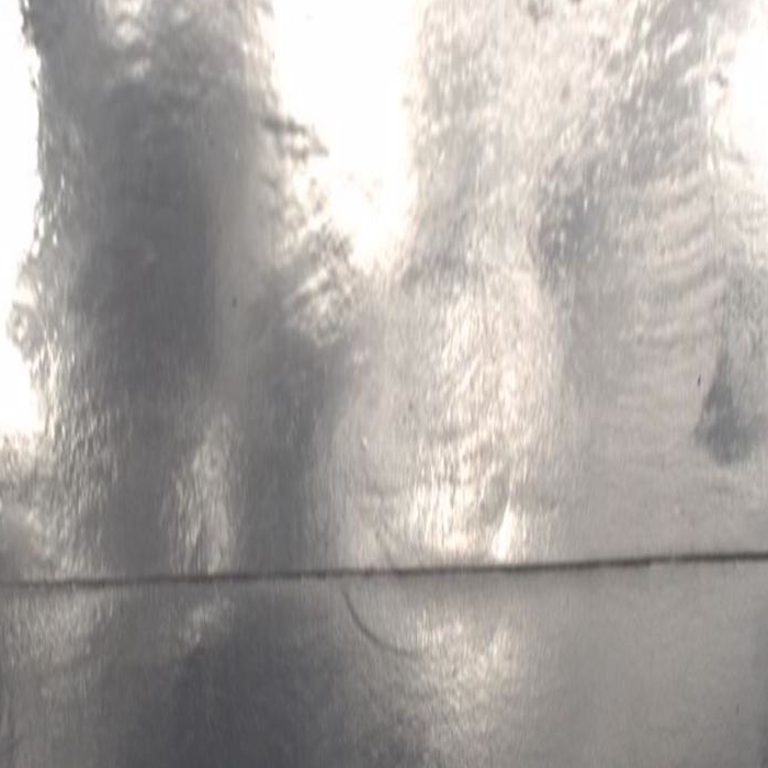
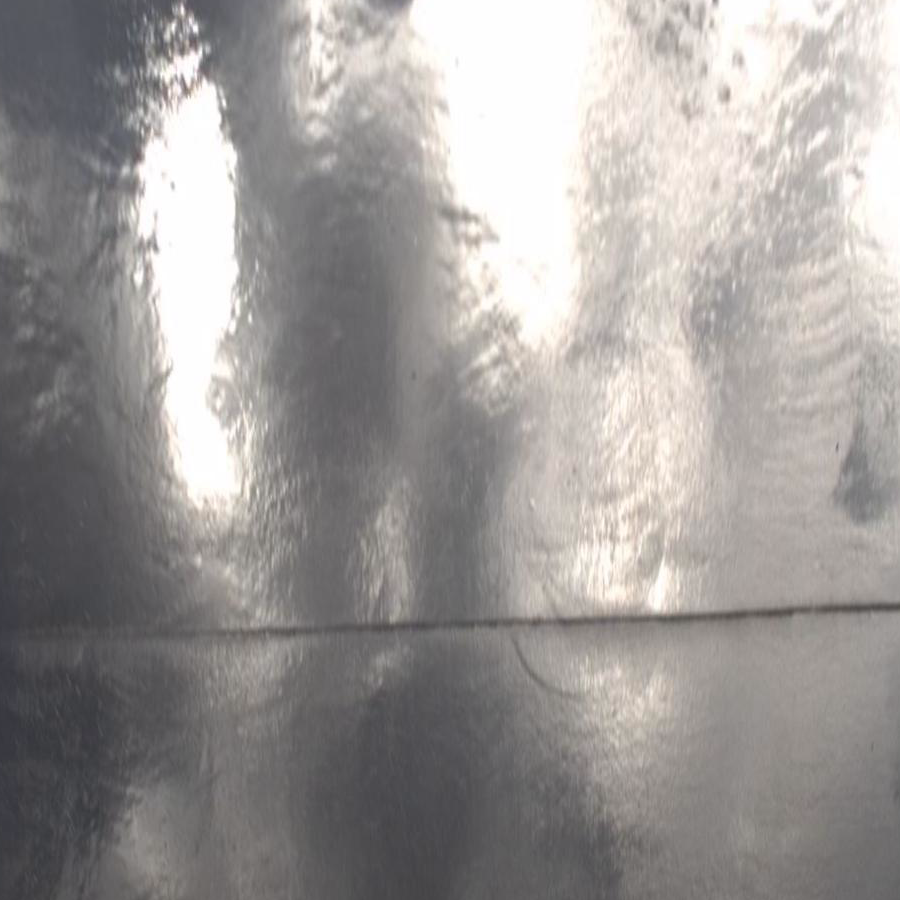
The example images show a concrete surface captured from four different distances d2v with region sizes s, m, l. The water film height on the surface of this region is between 200 and 260 micrometers (very wet).
RoadSaW Paper:
[1] K. Cordes, C. Reinders, P. Hindricks, J. Lammers, B. Rosenhahn, H. Broszio: "RoadSaW: A Large-Scale Dataset for Camera-Based Road Surface and Wetness Estimation", CVPR Workshop on Autonomous Driving, pp. 4440--4449, 2022
[2] K. Cordes and H. Broszio: "Camera-Based Road Snow Coverage Estimation", ICCV Workshop BRAVO, pp. 4011--4019, 2023
